This shows some part of San Andreas Fault zone running on the Carrizo Plain in State of California U.S.A..
The Photos were taken over by Aircraft to LAX and some photos were taken on the ground along the SAF.
The San Andreas fault is a continental right-lateral strike-slip transform fault that extends roughly 1,200km thru the California.
It forms the tectonic boundary between the Pacific Plate and the North American Plate.
Note: The San Andreas Fault zone is located around at 35.7 deg north and 119.39 deg west.
The following photos were taken on year 2007.
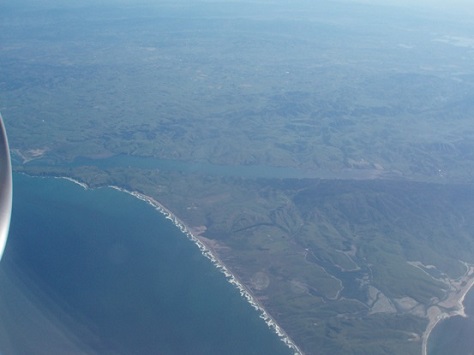
This photo was taken to see north of point Reyes north of San Francisco
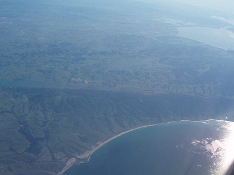
ditto
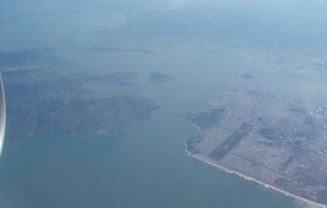
The overlooking of San Francisco bay, Daly city is on the right
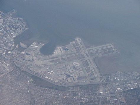
The S.F International Airport, the side of highway US 101
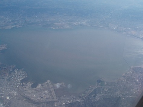
An overlooking of San Francisco bay, the city of San Jose is located on the right (out of view)
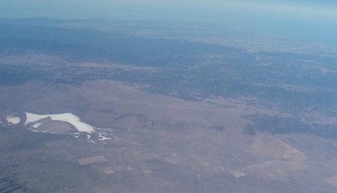
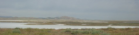
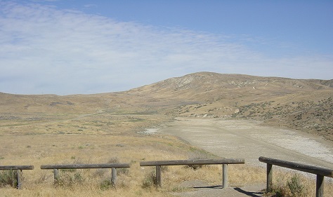
The Soda Lake in the carrizo plain is clearly seen with no water in
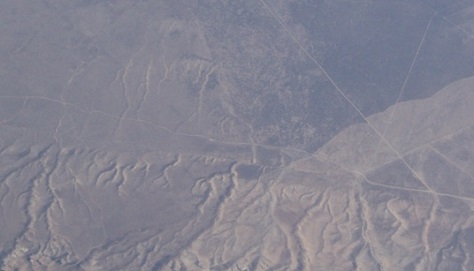
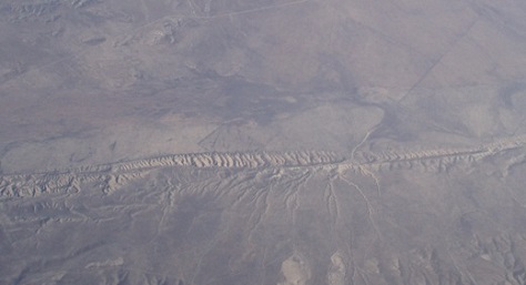
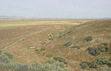
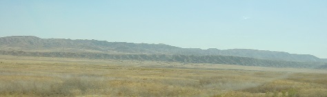
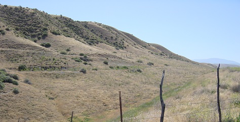
One part of San Andreas Fault, wrinkle mounts where the fault line is running holizontally
Some other part of wrinkle of SAF zone
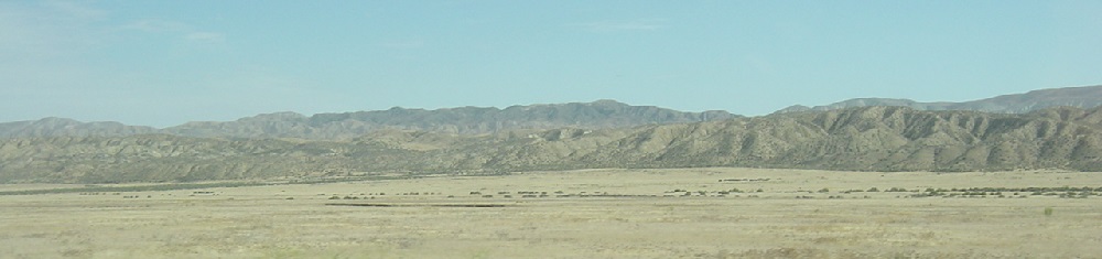
One of typical wrinkle mounts of SAF where the fault is running in between mounts
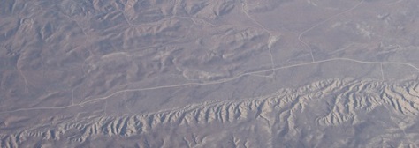
South east part of wrinkle and the road being running above wrinkle where Taka drove
the other days.
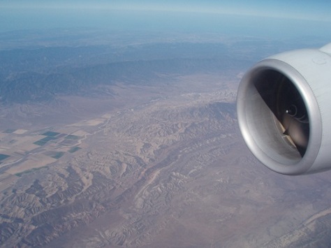
An overlooking of Carrizo plain from airplane to LAX
An overlooking of carrizo plain and SAF zone viewing from air
The following photos were taken from ground level while driving of the Carrizo plain toward moving to southeast.
For those photos were taken in the year of 2006 May//
The Soda lake looking st the side of graded road
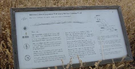
A panel posted at the parking lot at the side of Walles creek where we can see
a large land shiftted site visually.
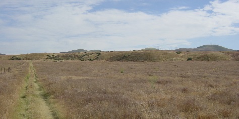
Viewing the mounts from parking lot about 400m away
A large creek looking toward north at the Walles creek
A large creek at the point of Walles creek looking toward west
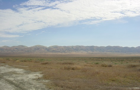
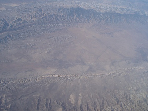
An overlooking of Temblow mountains from Carriso plain
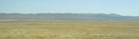
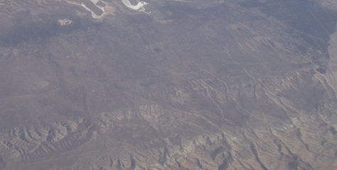
The start of SAF wrinkles can be seen in distance
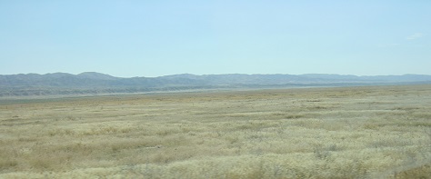
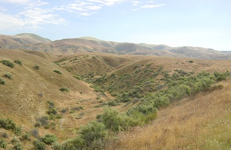
Another looking to SAF wrinkles toward southeast
ditto more closer looking of wrinkles
ditto (cloer looking of wrinkles)
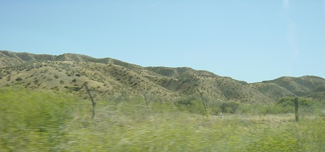
A much cloer looking of wrinkles
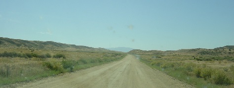
Looking toward south runing on the gladed road in the Carrizo plain
One part of SAF wrinkles here that mount seem about 200m heigh or so.
Closer looking of sag pont where locates south of SAF fault zone.
Some other photos be selected and put them later for references.
.