Some of volcanic activities as of 1975
The Republic of Iceland is located on the mid-Atlantic Ridge just south of Arctic Circle and it is said that the land is being expanded to east and west even now due to its nature.
Many of Volcanic activities were being took place in the past and now a day too.
The Heimaey island, off the coast of southeast of Reykyavic, had volcanic activities on 1973 and had catastrophic damages given to the town in Heimaey island.
The Mount Helgafell in Heimaey island had started eruption on January 23, 1973 from on the foot of 1600 m height of Mountain and ash fallen on the town and over a hundred houses were buried by ash/tephra and lasted eruption activities for several months.
The Mount Eyjafjallajokull has started to erupt on April 13, 2010 and Airflight from affected EU countries and also to EU countries from Japan also affected by smoke flying as of April 19, 2010.
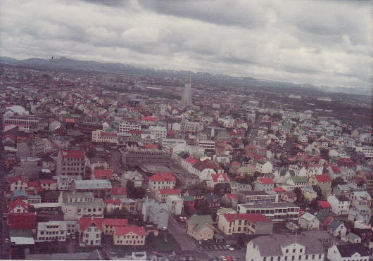
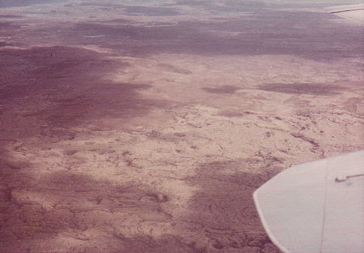
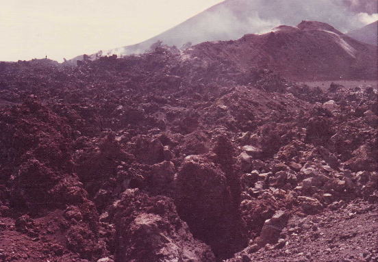
Overlook on the Reykyavic city............................The lava fields east of Reykyavic
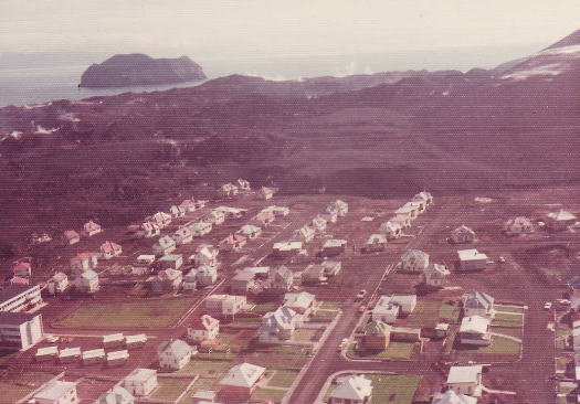
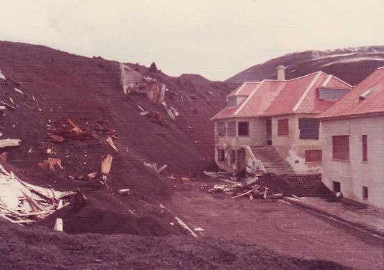
Heymaey island, hundreds of houses were buried by ash and lava that they were still hot......as of 1975.
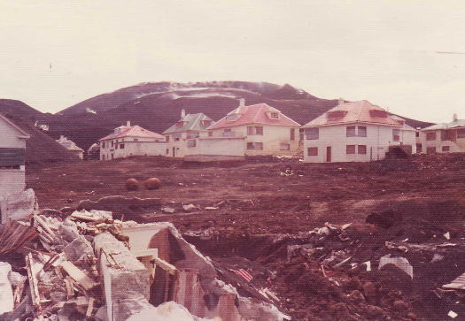
Closer look on the houses and recoveries works underway, behind the houses are Mt. Helgafell
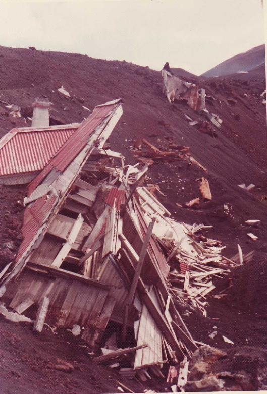
An another look on breaking houses by ash fallen.....Lava fields they are still high temperature as of 1975.
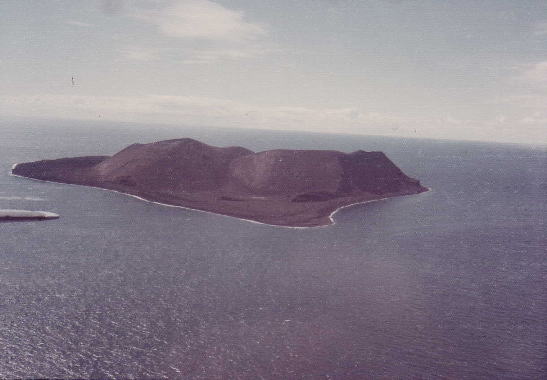
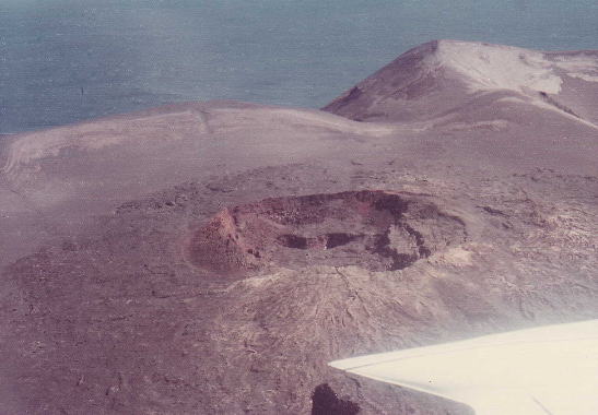
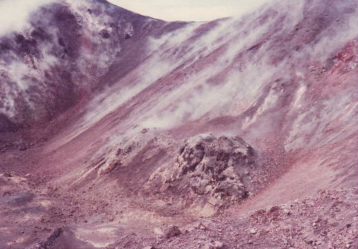
This island is called Surtsey that was emerged on 1963.......One of the crater on the island.
The World Heritage committee has inscribed on the World Heritage List on 2008, the Surtsey Island.
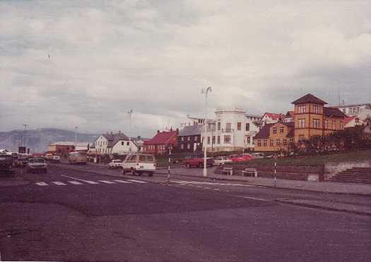
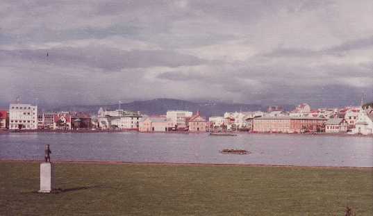
One of the city corner on the Reykyavic city.........Looking Parliament bldg over the lake....
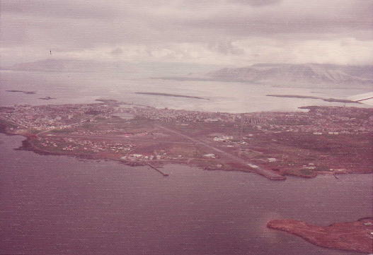
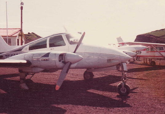
An Airview on the Reykyavic Airport........... .....The eight seats plane took us to the Heimaey island.